
It’s Time to Get Maps Out of the GIS Department
You use a map app on your phone to take you places? Isn’t it time you use maps in your work and organisation?
For too long smart cities and digital transformation of the public sector has been held back by the notion that using maps is the exclusive domain of geographic information scientists and geospatial experts. On the contrary, the value of mapping lies in serving as a default “operating system” that unites stakeholders around the table and integrates the complexities of modern city management into a cohesive data environment.
This environment builds on shared data to understand the intricacies of the connected systems and processes that make up our connected reality:
- housing needs
- economic development
- social service provision
- infrastructure works
- tax revenue collection
- public services planning
- and more
Location as a foundation for other data
The foundation for all of these datasets is the National Property Register, a spatial database of all registered properties in South Africa.
Data is inherently abstract, with rows and columns representing objects, properties, or people. And the problem with the vast amounts of data being produced by these different systems is that the human brain struggles to adequately make sense of the many different datasets that interconnect in a modern city.
The beauty of a map is that it effectively reduces the level of abstraction by creating a digital twin of the real-world. As an information model, maps show the relationships between entities and enable good governance and cities that serve citizens and help countries grow.
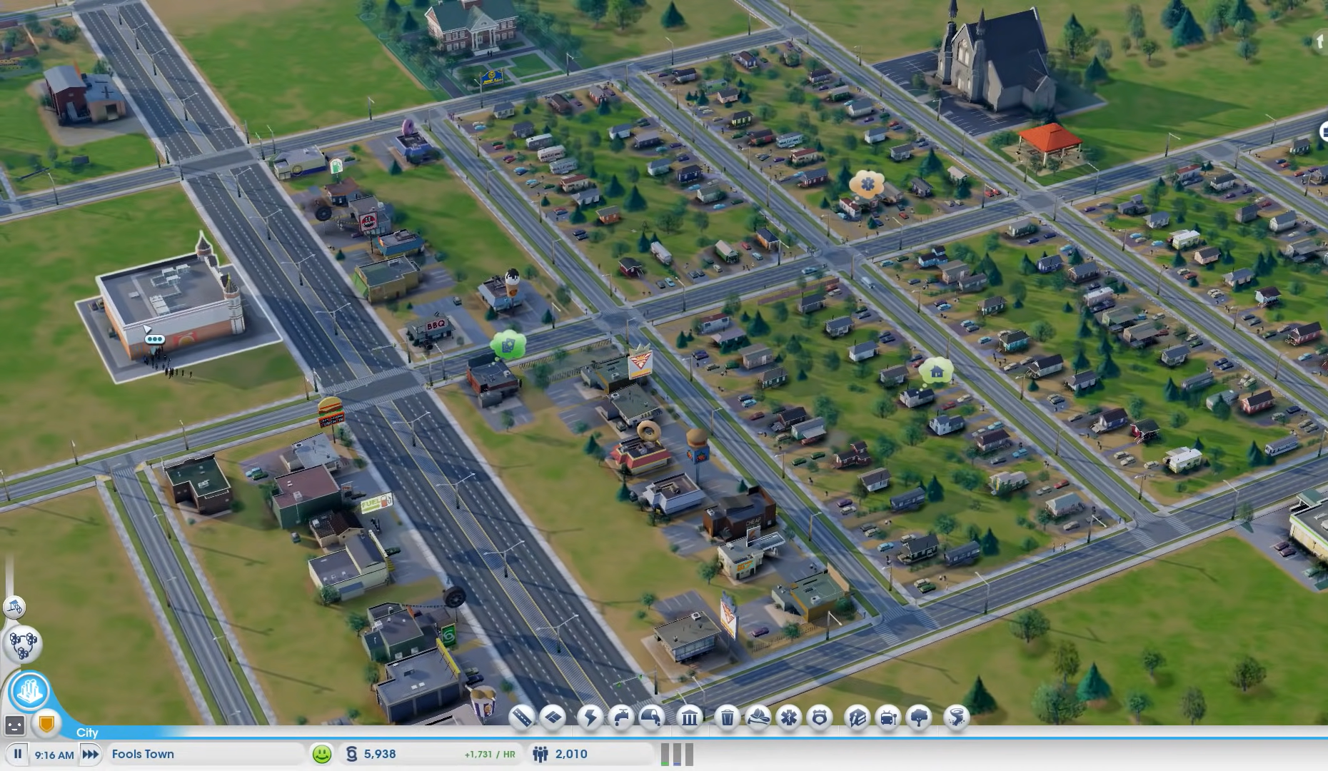
Screenshot of the SimCity computer game, showing how a model of the real world can be created on a digital platform.
Digital transformation that takes place/location into account is now more urgent than ever, as population growth bursts city seams, climate change introduces shifting changes, and the Covid-19 pandemic sustains pressure on public health care and support services.
If mitigating operational risks and mountains of paperwork are not incentive enough for cities to move towards a map-linked database, then addressing their revenue shortfalls should be. Local and national governments alike are in dire need of better ways to collect their property-based revenues. Since the foundation of a city’s revenues are its properties, what better way to manage this than a mapping platform that makes the complex billing information easier to interpret and act upon?
Complete insight, made visible by linking financial data to geography with maps, could immediately highlight troubled areas, inconsistent data, and mismanagement, or identify and assess well-performing strategies.
Besides instilling accountability and renewing trust in government, this map-based approach will drive long-term economic growth and aid social cohesion.
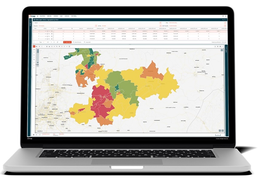
Map indicating the aggregated debtors per age bucket on a ward by ward basis, to identify wards in need of intervention. Wards that are styled in green, indicate that revenue is managed well in those areas. Through yellow to red styled wards, one can identify poor revenue management.
Getting maps on every desk
Getting your organisation to use maps effectively starts with a mind shift: spatial information and geographic information systems should not be limited to an isolated department, but be accessible as information to all stakeholders that can and should be interacting with it. It further requires adopting processes that link and maintain data that is linked to properties on the map.
Open-source mapping tools and online map services such as 1map remove the need and costs associated with administering mapping systems, making mapping easier and cheaper to use than before.
Using existing datasets and data services are the easiest way to get started. It allows you to tie your existing data – spatial and non-spatial – to properties that you can use in all aspects of your workflow.
Maps, like photography, are no longer the exclusive domain of experts or even professionals. That’s not to say you won’t benefit from using experts in this domain. Having all your data linked to a map enables geospatial scientists and engineers to analyse this information in its spatial context and provide fact-based recommendations for better achieving your organisational goals, such as suggesting areas with high growth potential, underserved areas, or ways to better utilise the organisation’s existing resources.
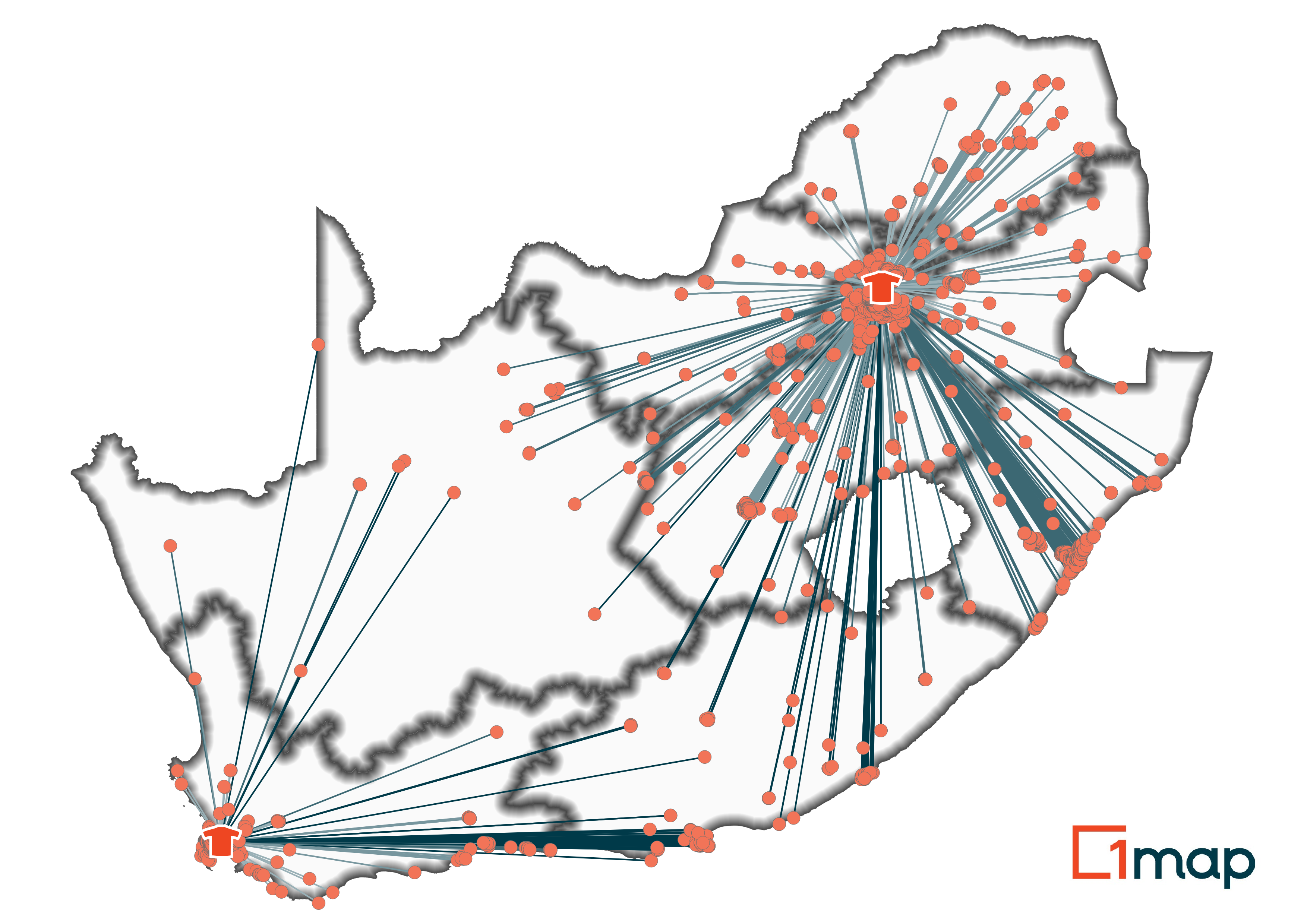
Distribution map showing two t-shirt factories and the delivery points of each, based on the closest factory to the delivery point. Lines to the delivery points become a darker blue as the distance from the factory increases. Such maps aide in determining potential sites for new factories, for example.
Talk to us about your unique challenges to find out if we have the solution you need.