1map Base
A composite raster layer containing 1map Erven Cadastre, 1map Road Centrelines, OSM terrain and NGI Topographic Features.
1map Hybrid Base
A composite raster layer containing 1map Erven Cadastre, 1map Road Centrelines, and NGI Aerial Imagery.

Open Street Maps (OSM)
OSM is a collaborative open source map project, that can be viewed as the wikipedia of mapping.
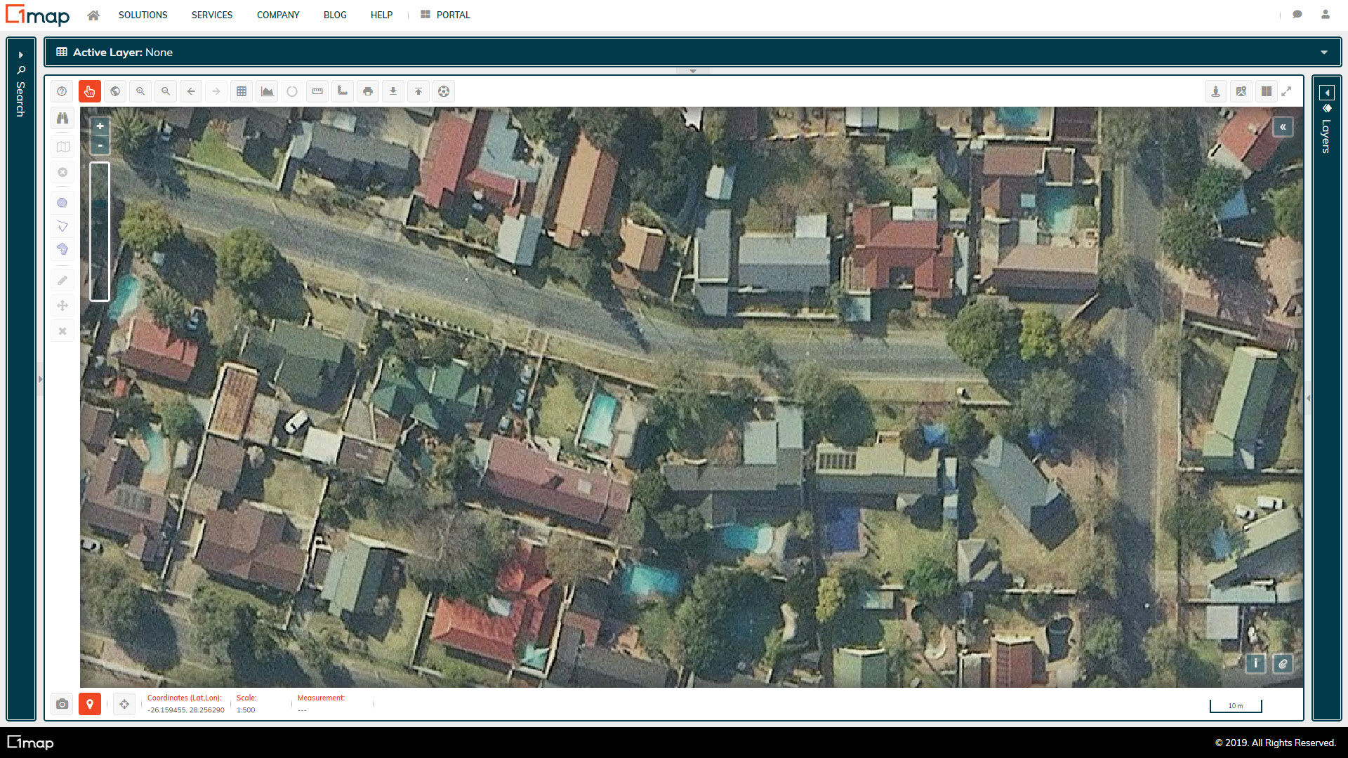
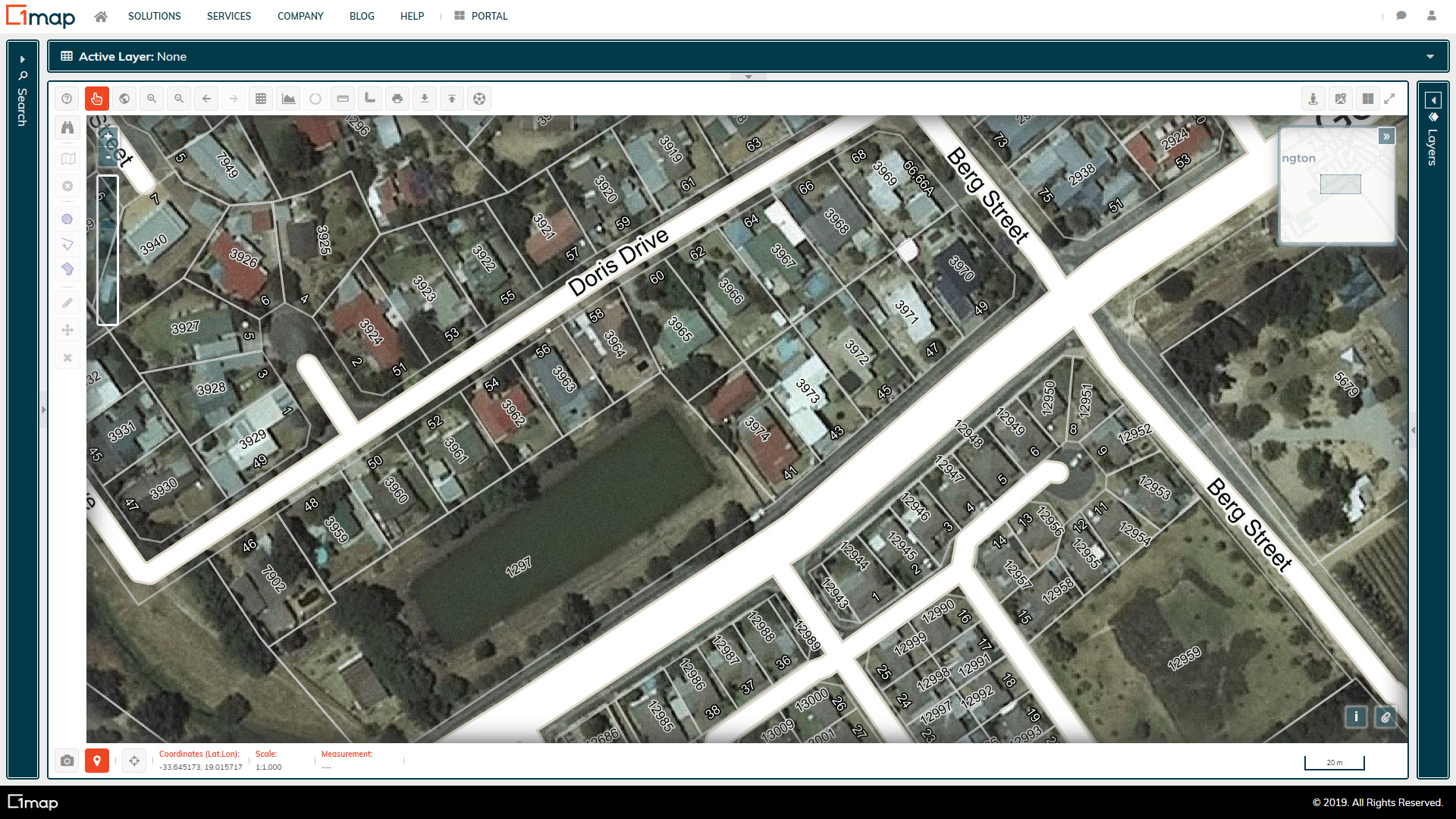
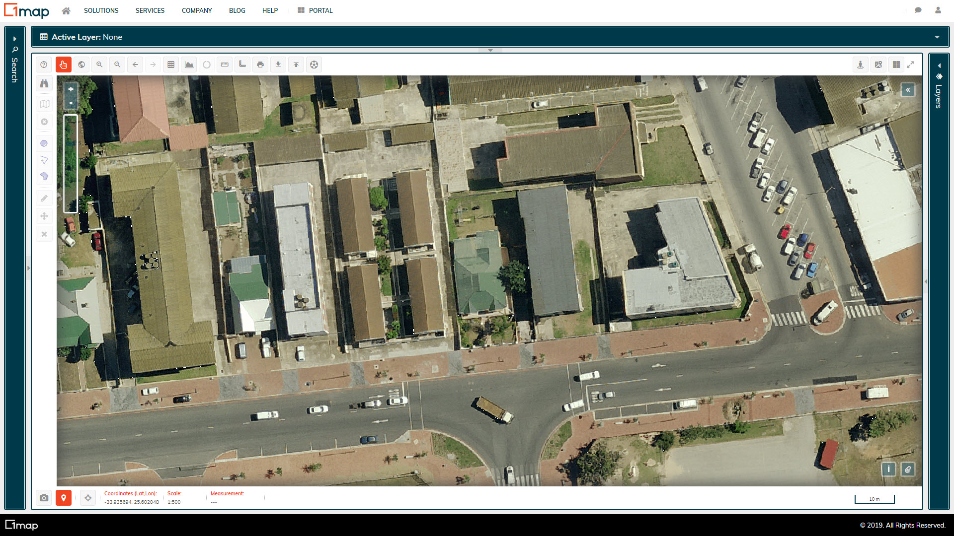
NGI Aerial (25cm GSD)
National Geo-spatial Information (NGI) is the government component responsible for aerial photography. The ground sample distance ('GSD') is the size of 1 pixel on the ground and is influenced by the flying height and focal length.
NGI Aerial (50cm GSD)
National Geo-spatial Information (NGI) is the government component responsible for aerial photography. The ground sample distance ('GSD') is the size of 1 pixel on the ground and is influenced by the flying height and focal length.
Stamen Toner
These high-contrast black and white maps are featured in Stamen's Dotspotting project. They are perfect for data mashups and exploring river meanders and coastal zones.
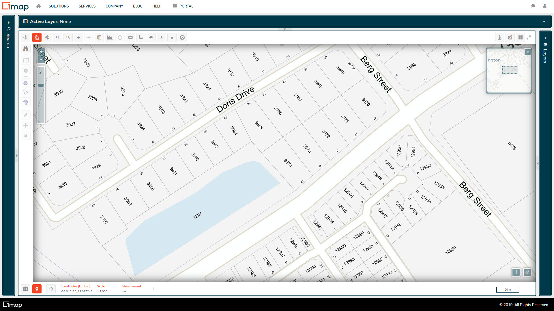
1map Erven
This is an enhanced version of the SG land parcel boundary dataset, classified according to its type and current legal status.
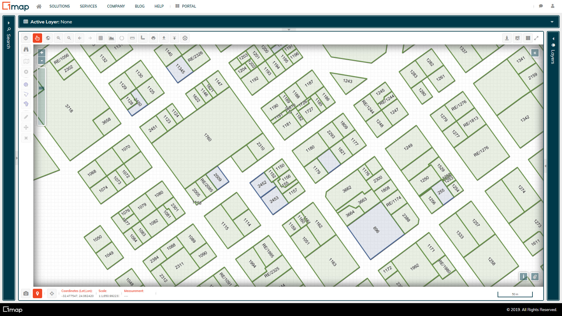
1map Erven: Legal Status
The Erven (Registered) and Erven (Approved) layers are styled to allow for easy differentiation based on the legal status of the land parcel.
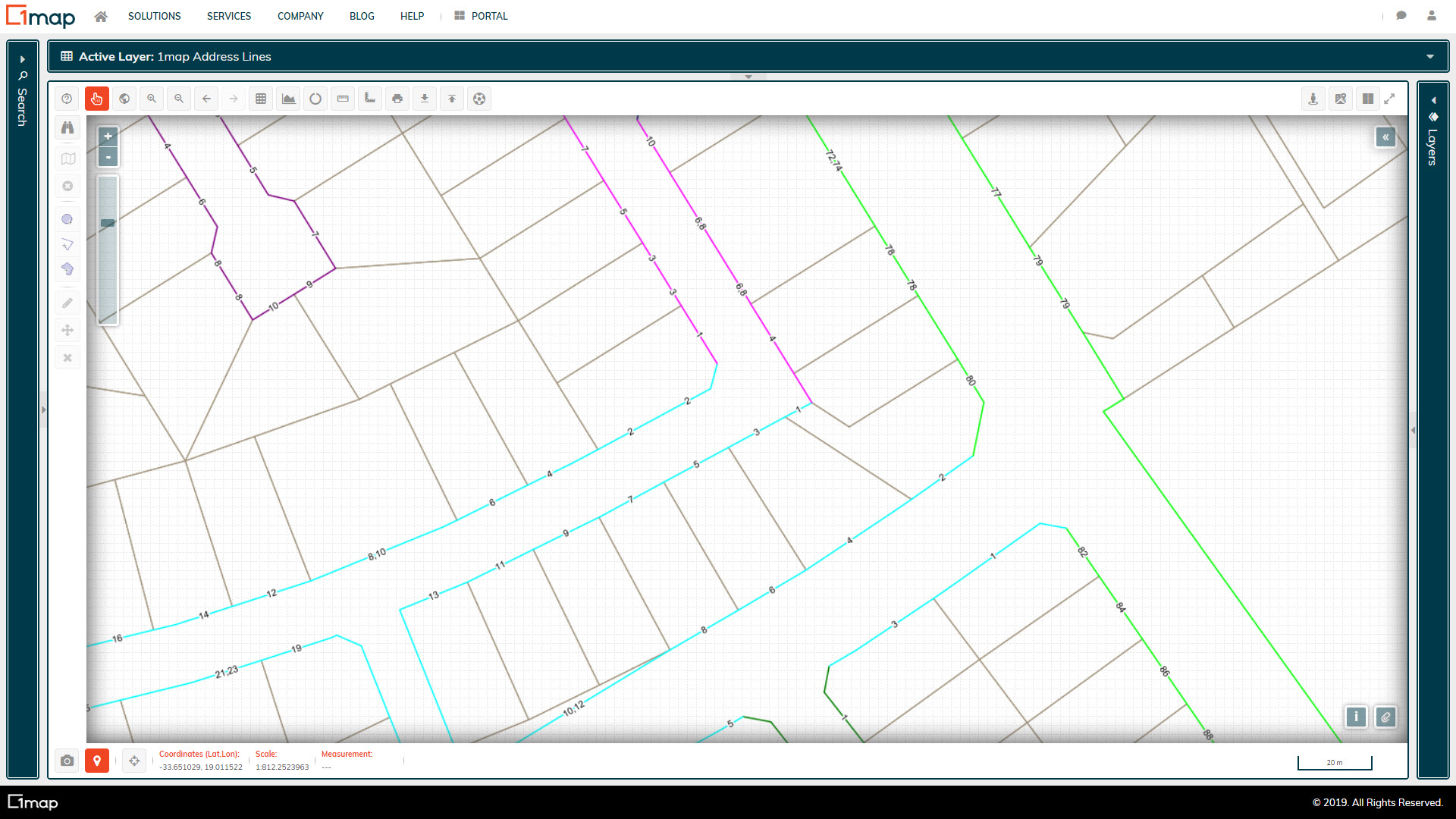
1map Street Address Lines
Proprietary 1map vector layer with the street numbers attached to the erven boundary line adjacent to the road reserve, and colour coded for easy identification of errors.
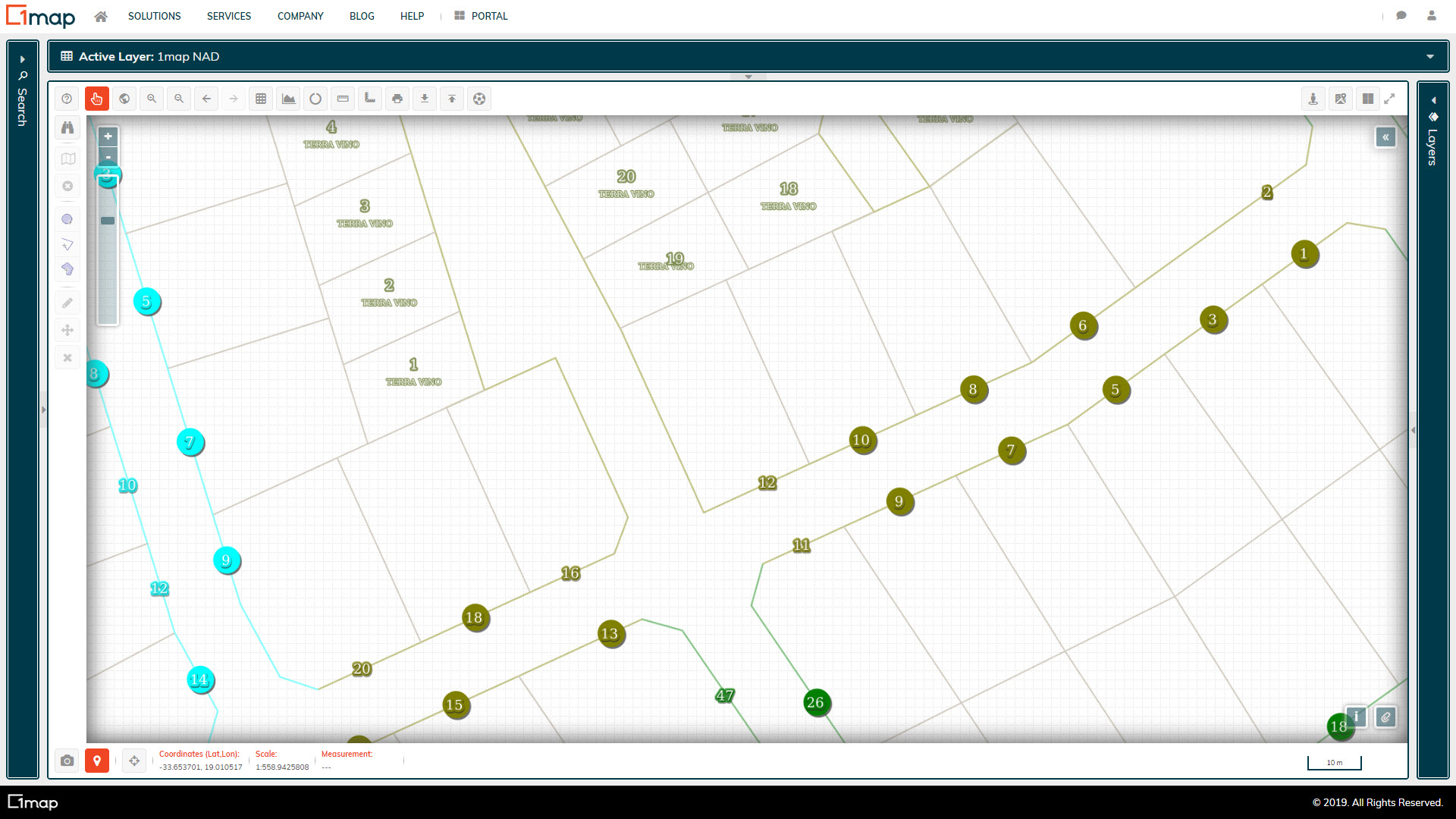
1map National Address Database (NAD)
Addresses for each road facing land parcel boundary are placed on the road facing boundary. The addresses are classified as either 'In Use' or 'Alternate' addresses.
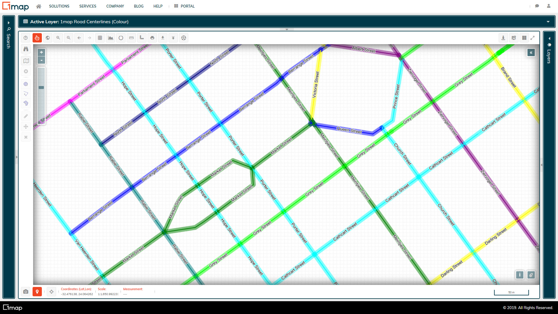
1map Road Centrelines
Our road centrelines are algorithmically created from the surveyed land parcel dataset, then checked by operators. The road names are meticulously researched and referenced to the General Plans, consumer databases, and other available data to ensure consistent and accurate spelling and naming conventions. The dataset also carries the historic name, as well as alternate names/spellings.
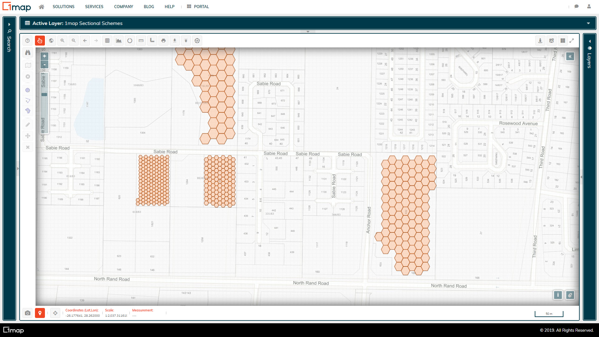
1map Sectional Scheme Units
Honeycomb polygons are generated for each sectional scheme unit, to allow spatial data to be associated with a specific unit and visually displayed on the map.
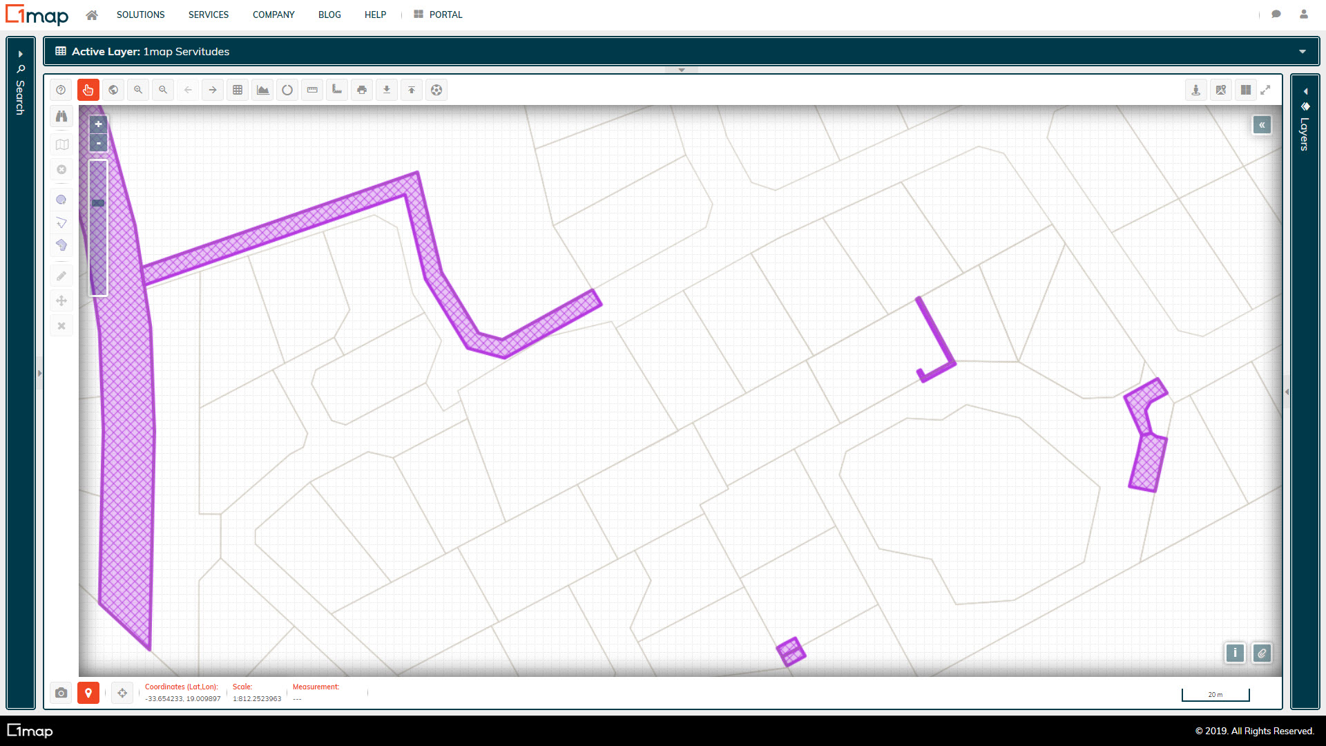
1map Servitudes
The official servitudes as obtained from the Surveyor General's office.
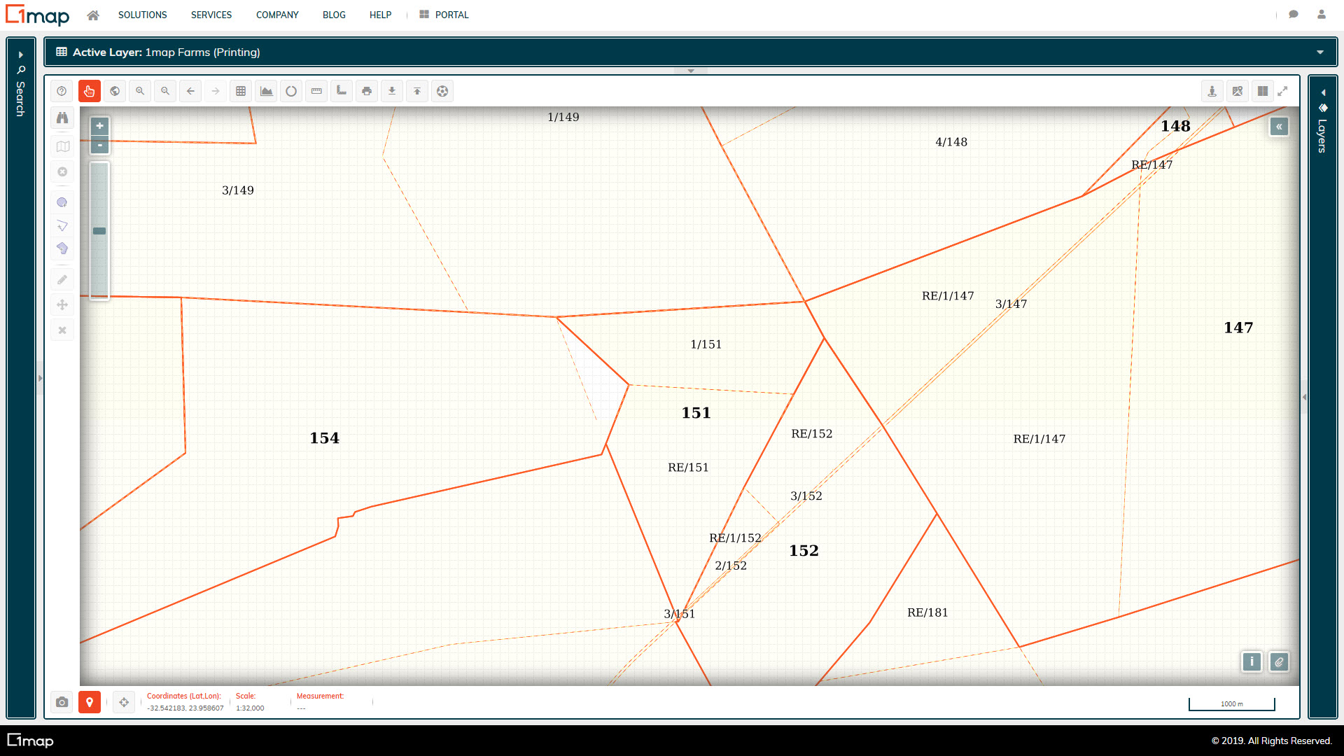
1map Farms & Portions
An enhanced layer indicating the farms and farm portions as surveyed by the SG, and classified according to legal status.
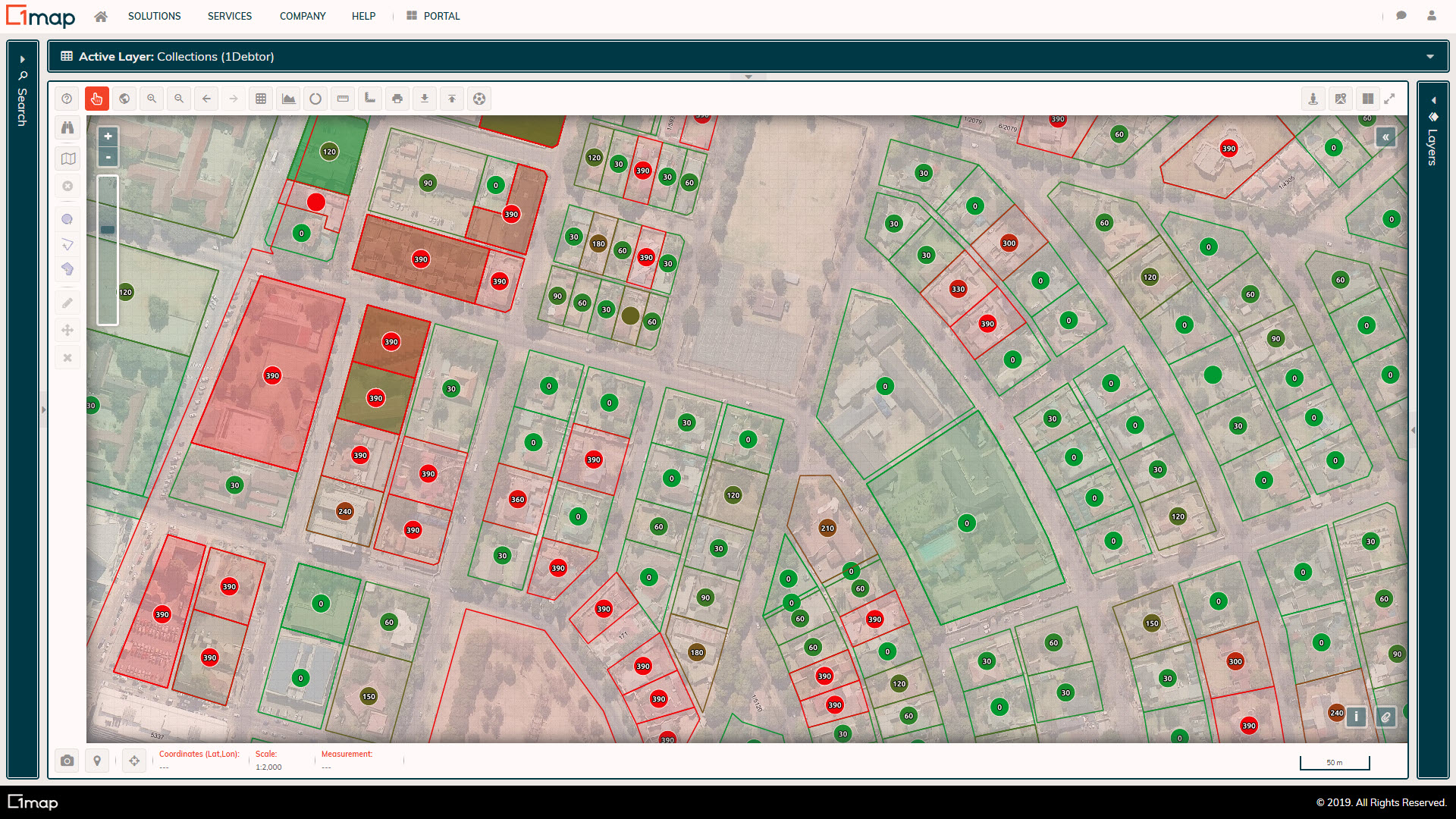
Debtors Age Analysis
The municipal financial system integration displays the latest debtors information per property, with colour-coding and symbols to indicate debtors who are far in arrears.
Zoning (Financial System)
The municipal financial system integration displays the zoning, property useage, and rates categories per property as used for the calculation of rates and taxes. This allows for desktop audits to identify incorrectly calculated accounts.
Meter Books
Each property is assigned a colour based on its meter book allocation, allowing for visual analysis and optimisation, increasing the monthly read percentage.
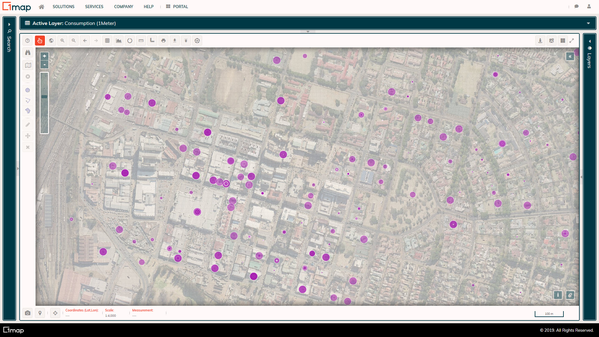
Electricity Consumption
The average daily consumption per meter is mapped and styled according to the relative size. This allows for visual identification of meters with lower than expected consumption based on the relative use of the neighbourhood.
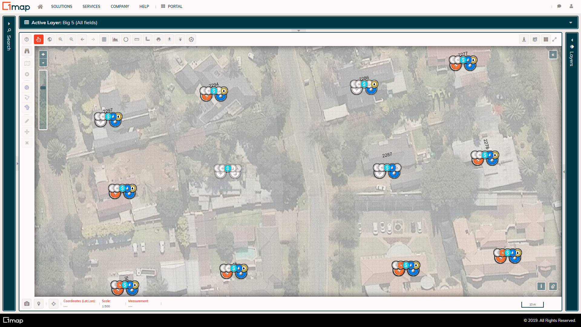
Services Coverage
Each service tariff and consumption is linked to a property and displayed visually, allowing users to easily identify properties where no services are being billed, where services are billed at an incorrect tariff, or where no services are rendered.
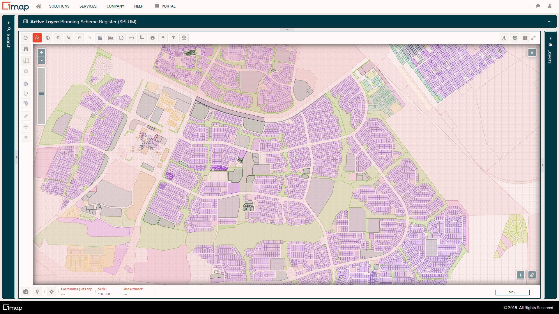
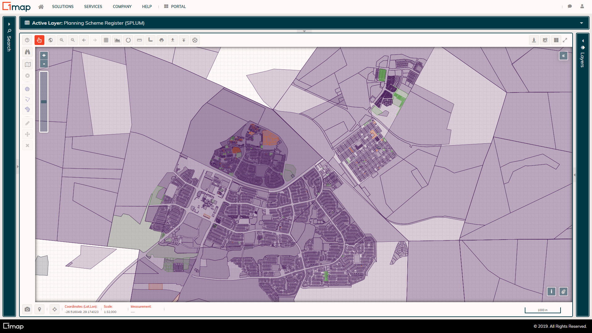
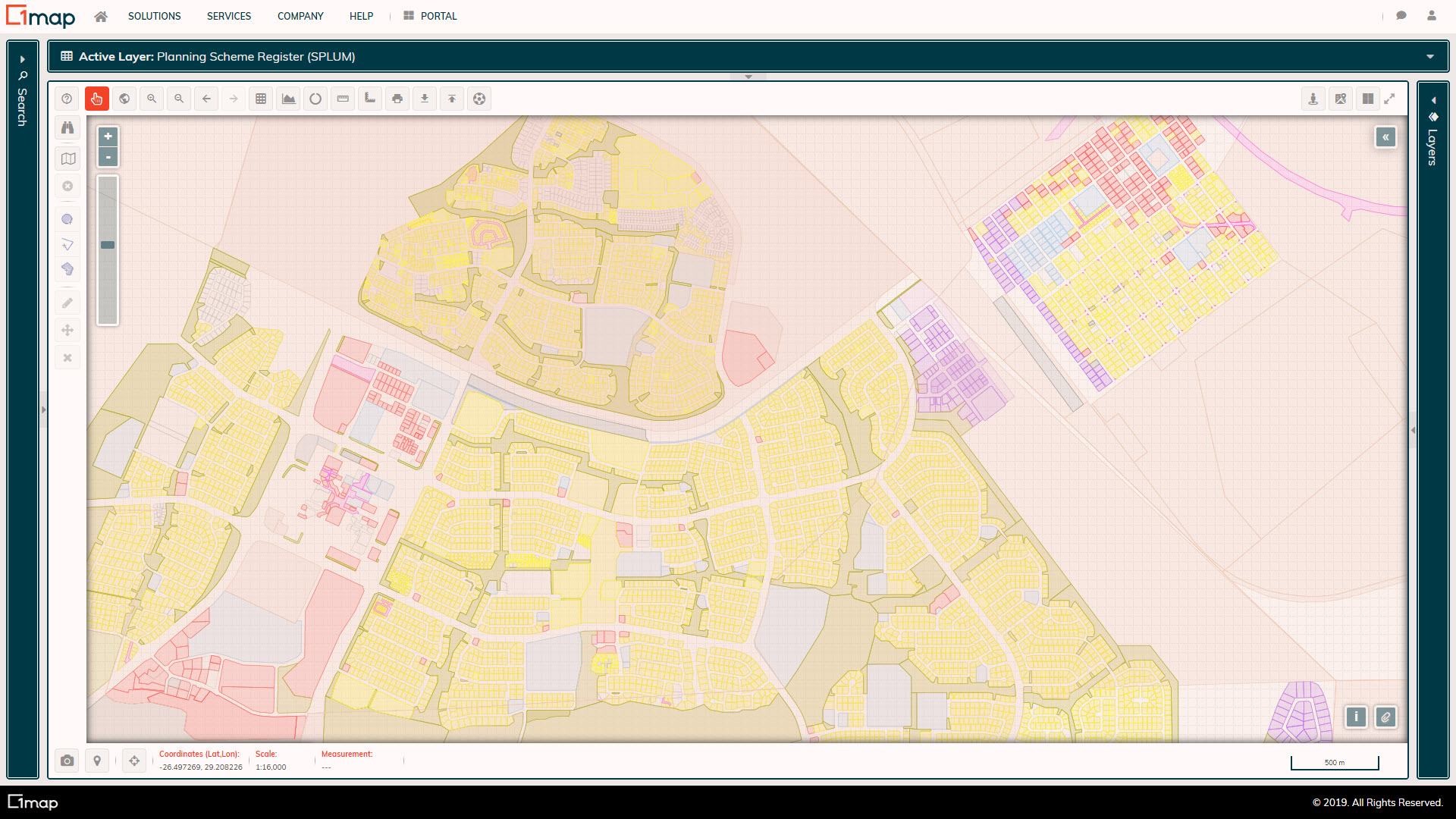
Planning Scheme Register: Zoning
The Planning Scheme Register is formed by mapping the rights and restrictions applicable to each property to allow for the generation of zoning certificates and comparison to the financial system.
Planning Scheme Register: Primary Category
The Planning Scheme Register is formed by mapping the rights and restrictions applicable to each property to allow for the generation of zoning certificates and comparison to the financial system.
Planning Scheme Register: Primary Use
The Planning Scheme Register is formed by mapping the rights and restrictions applicable to each property to allow for the generation of zoning certificates and comparison to the financial system.
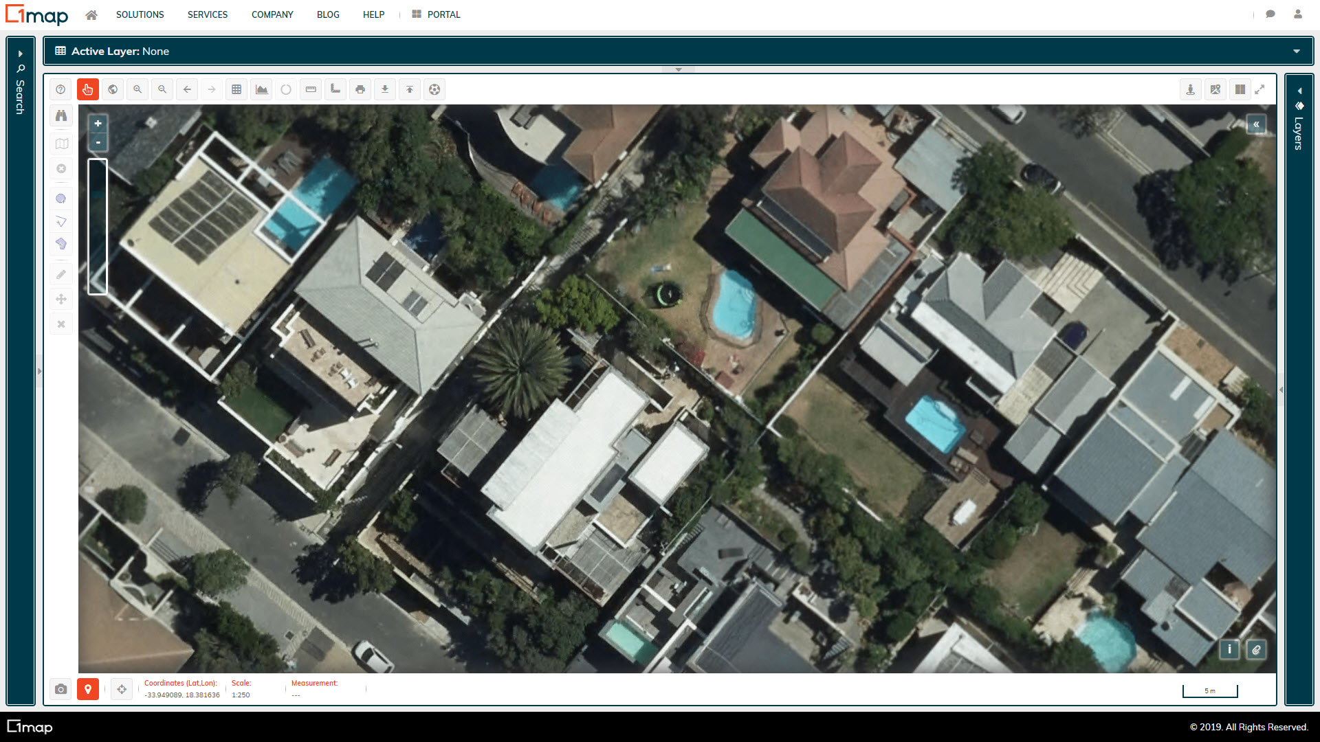
Cape Town Aerial Imagery
High resolution aerial imagery of Cape Town Metro
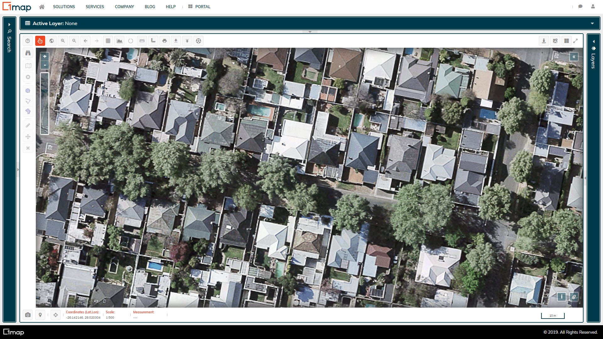
City of Joburg Aerial Imagery
High resolution aerial imagery of City of Joburg
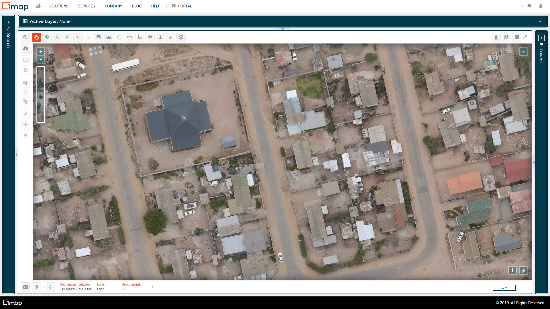
West Coast Aerial Imagery
High resolution aerial imagery for the Saldanha Bay Municipality
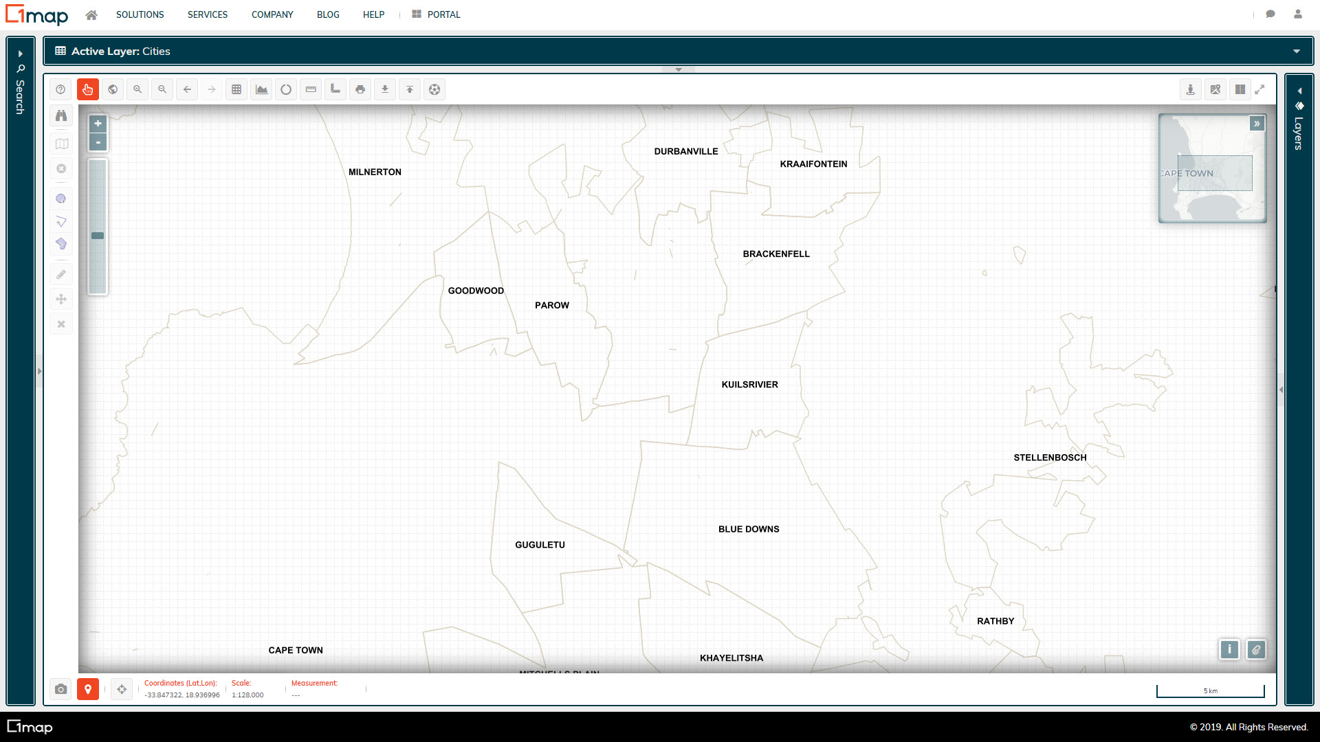
1map Cities
A layer depicting the various towns and cities in South Africa, with their boundaries
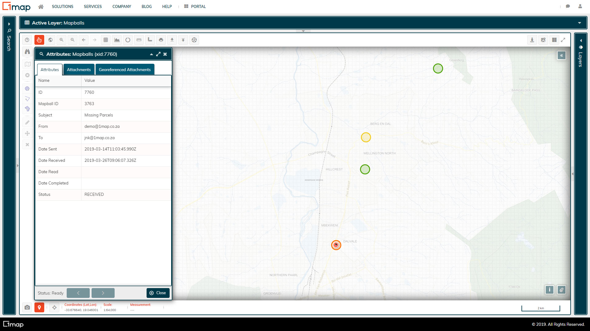
1map Mapballs
A layer that indicates all the MapBalls that a user has sent or received, as well as its stage in the workflow. This is useful for project management.
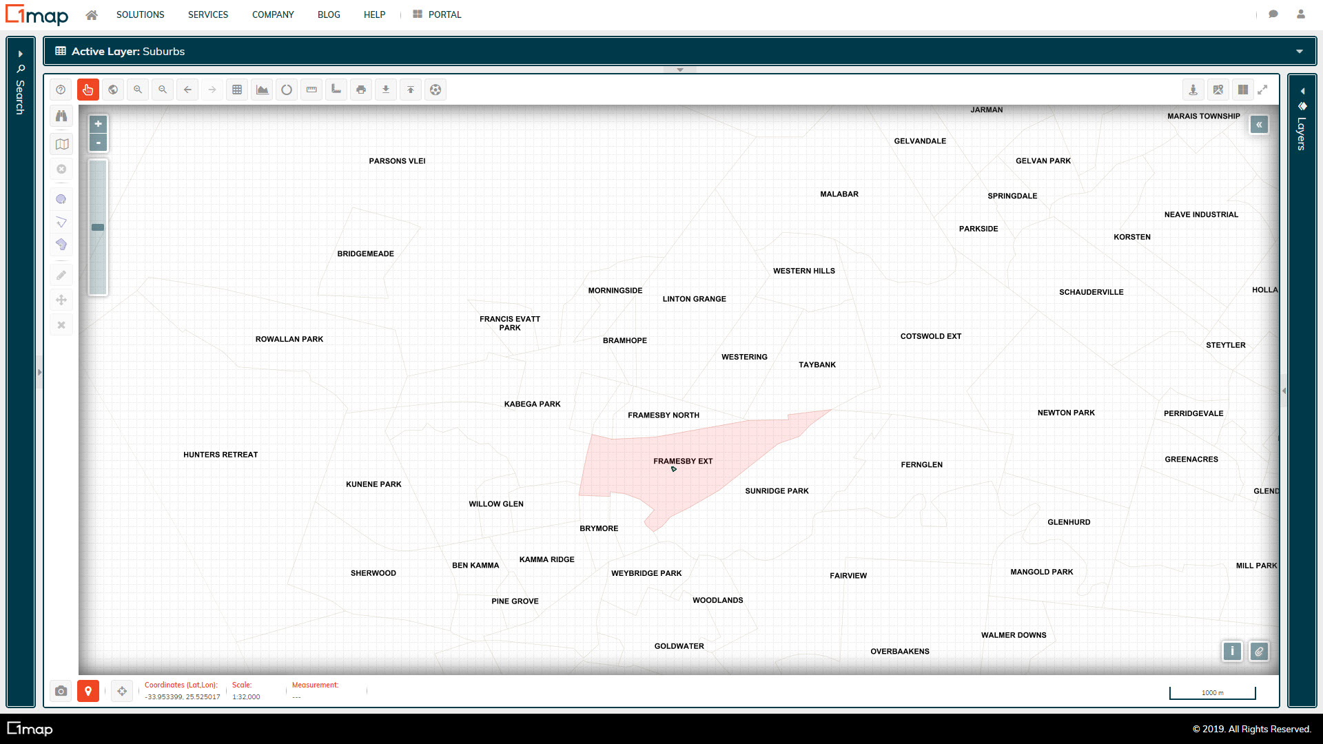
1map Suburbs
A suburb layer that 1map compiled. There is currently no official national custodian of suburb boundary data, and therefore there is significant difference of opinion as to where the exact boundaries lie.
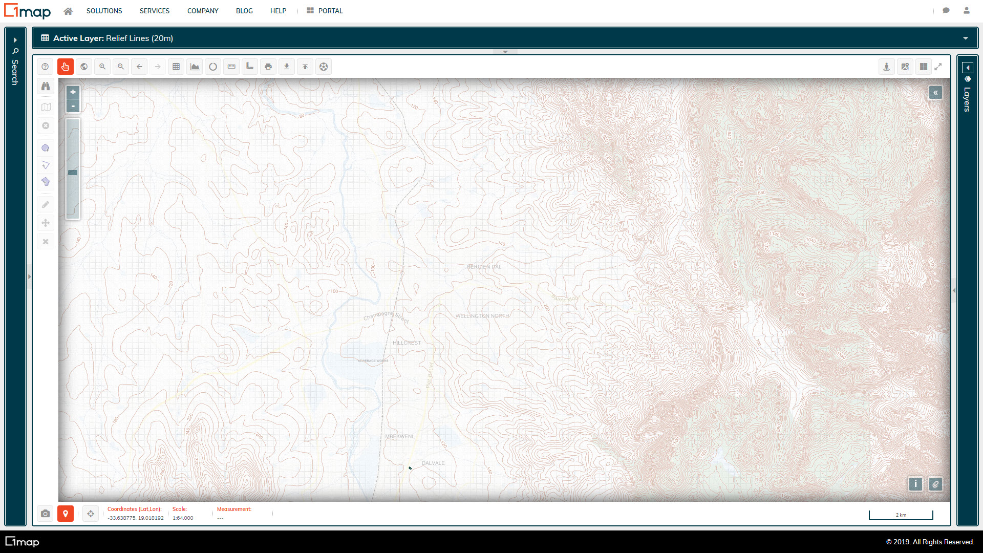
NGI Contours (20m)
20m contours / relief lines.
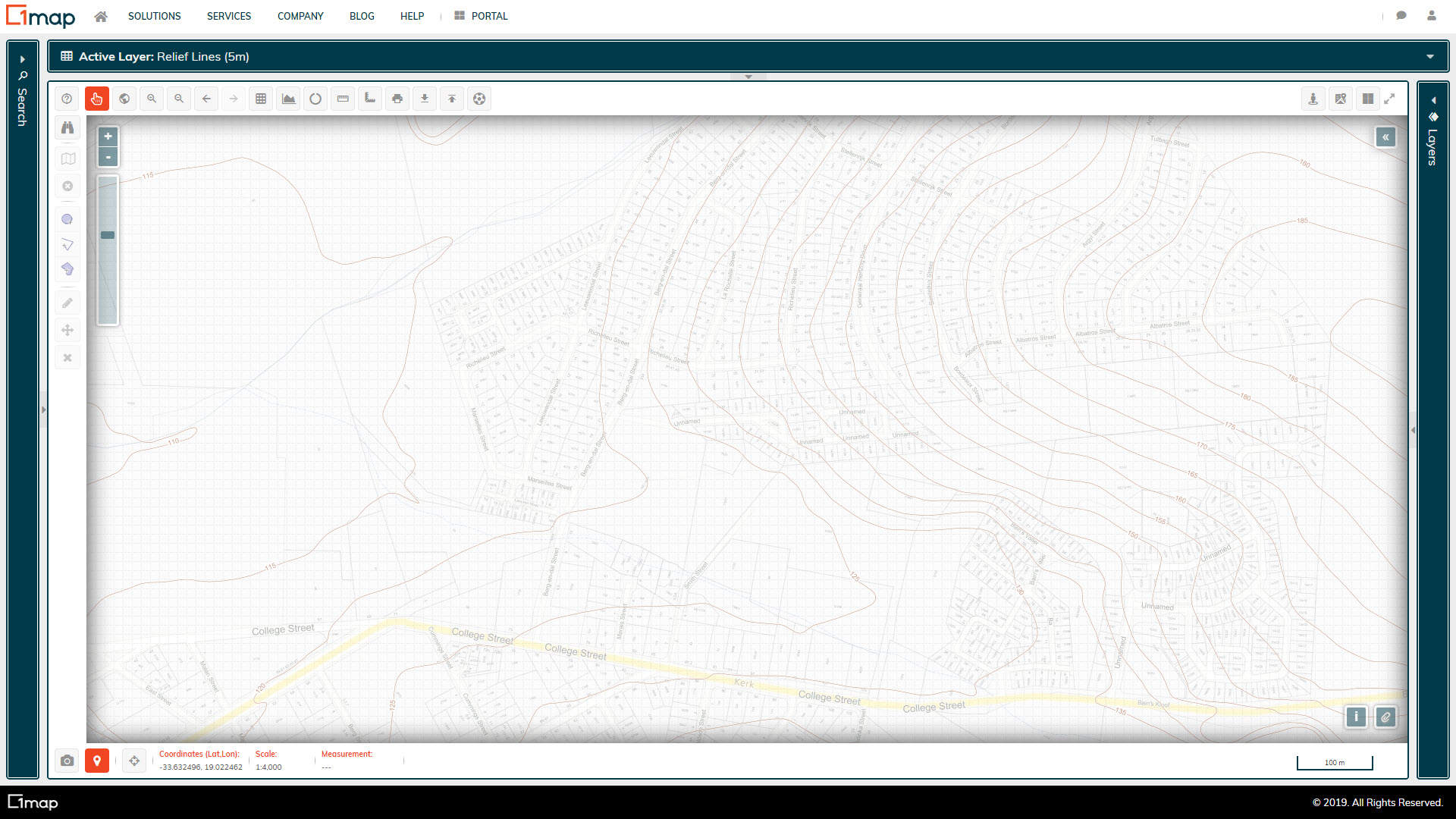
NGI Contours (5m)
5m contours / relief lines for urban areas.
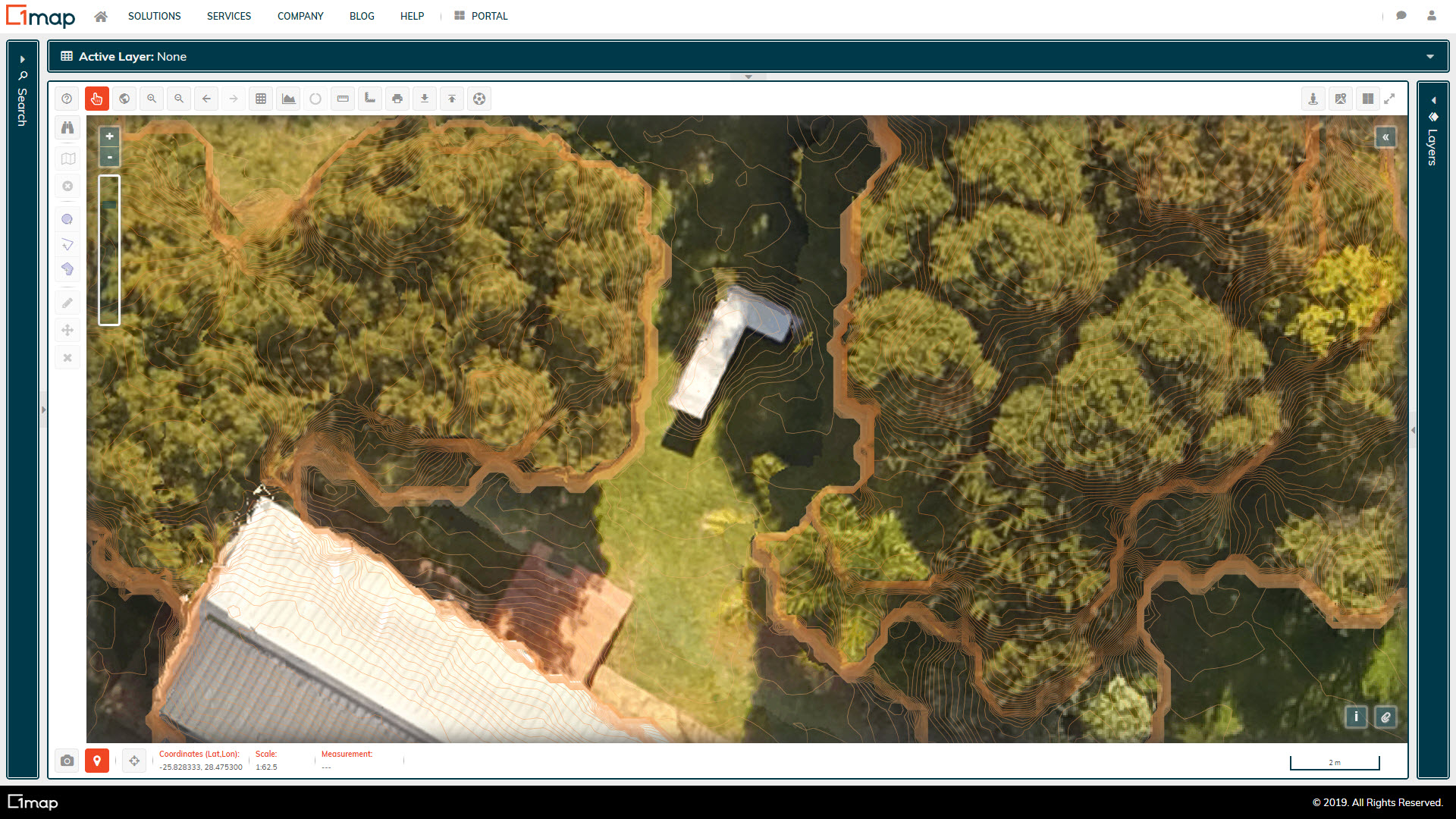
Drone Photography
Extremely high resolution aerial imagery flown by drones for small areas. This is flown by a contractor and can be done on a per request basis, quoted for separately.
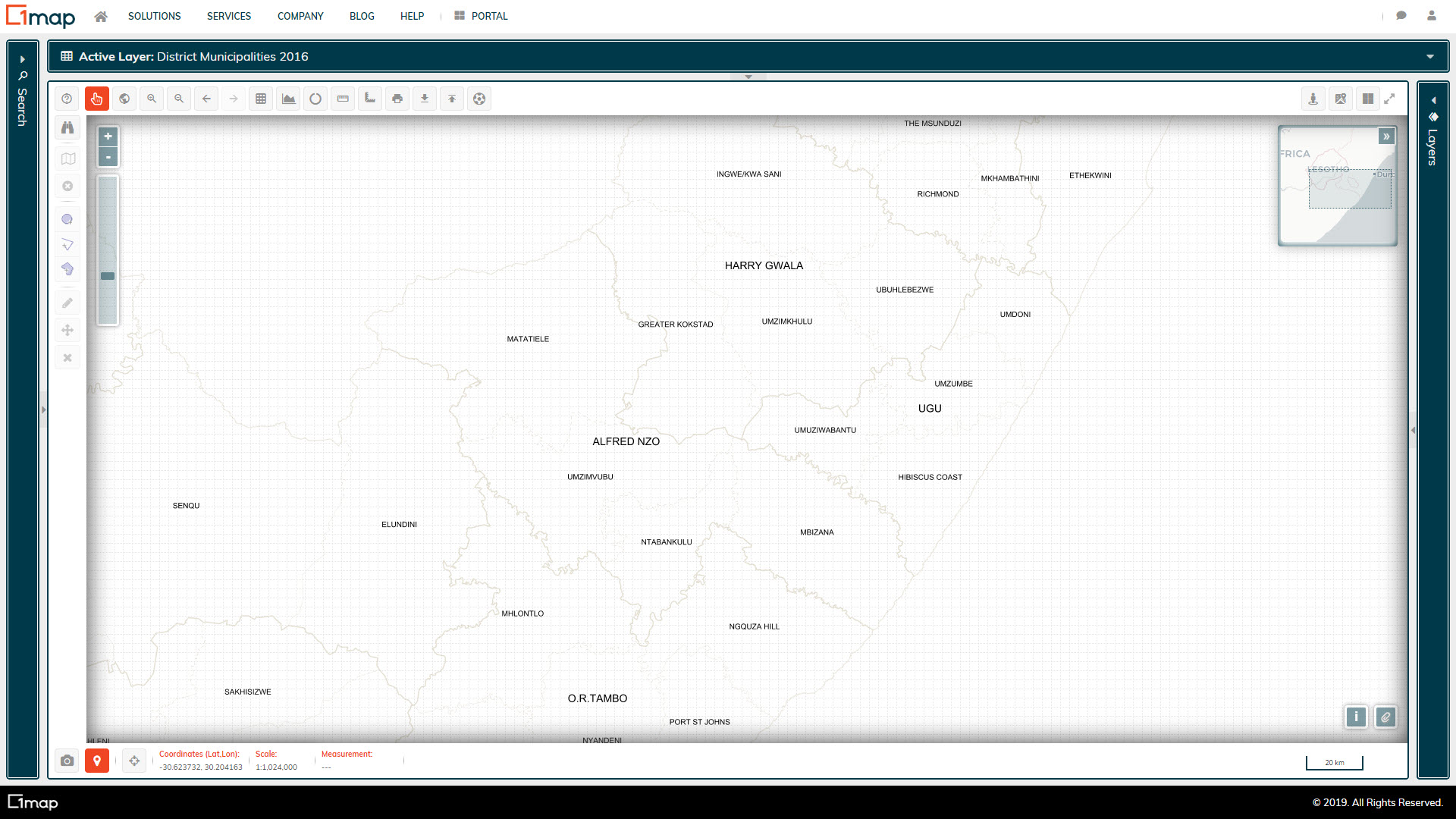
Municipalities 2016
The official municipal boundaries for local and district municipalities.
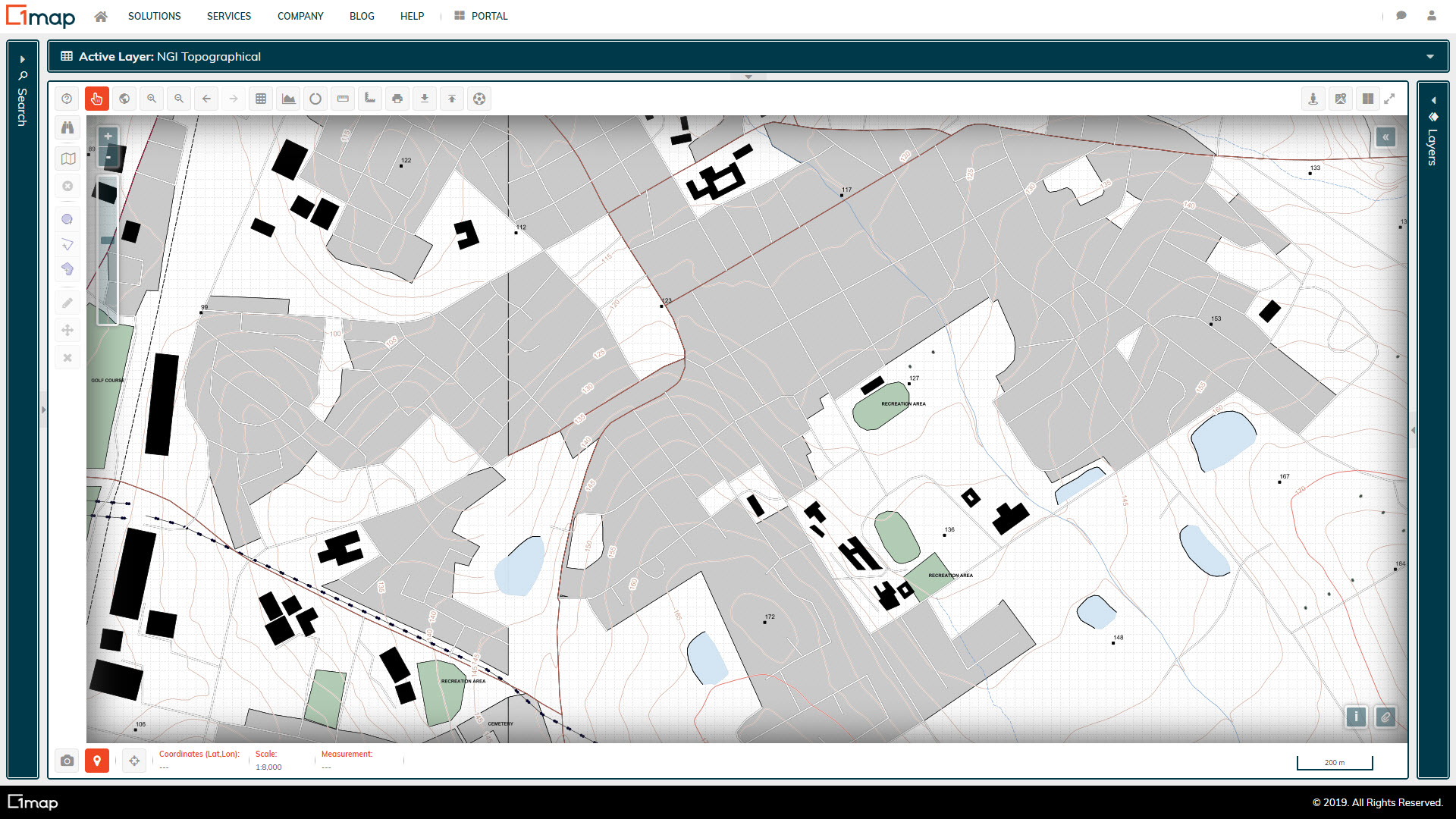
NGI Topographic
A composite raster map of the various topographic vector layers made available by NGI.
Nelson Mandela Bay Aerial Imagery
High resolution aerial imagery for Nelson Mandela Bay
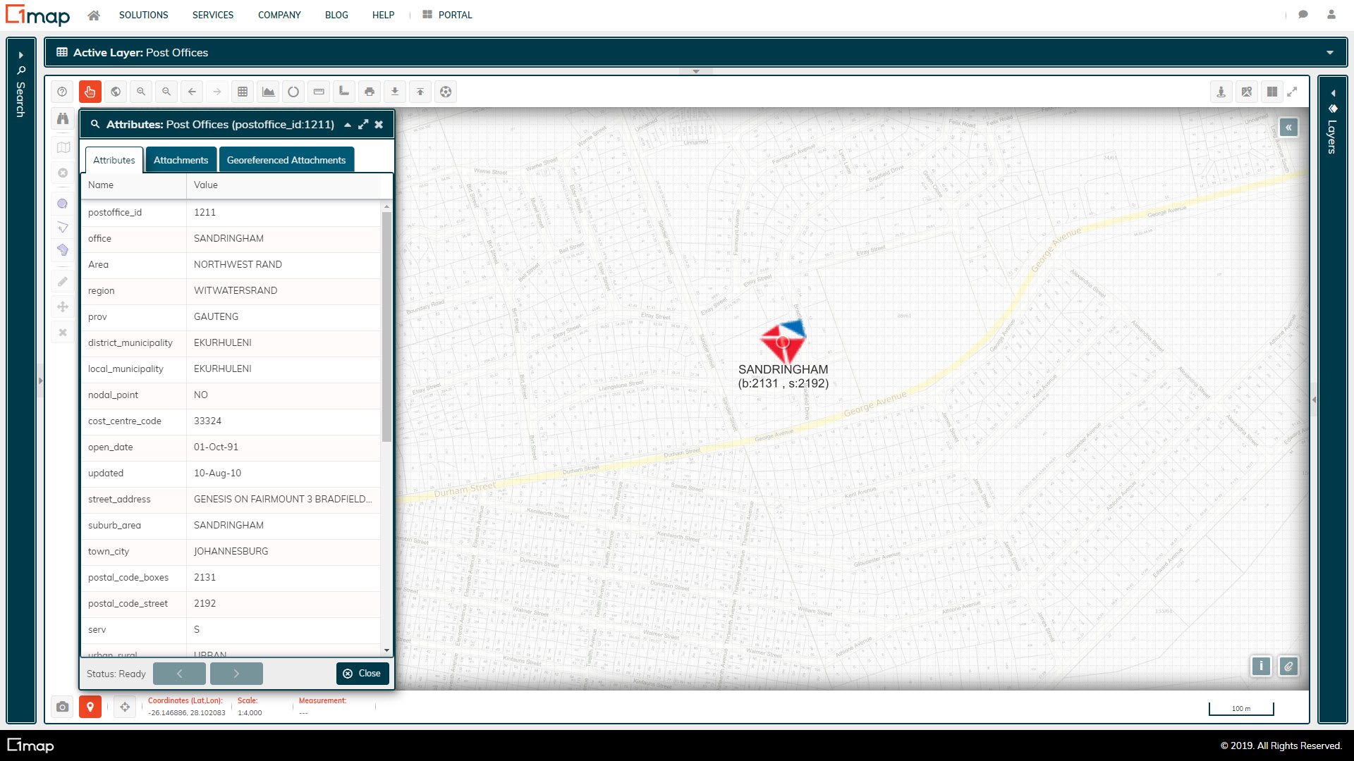
Post Offices
A database of South African Post Offices.
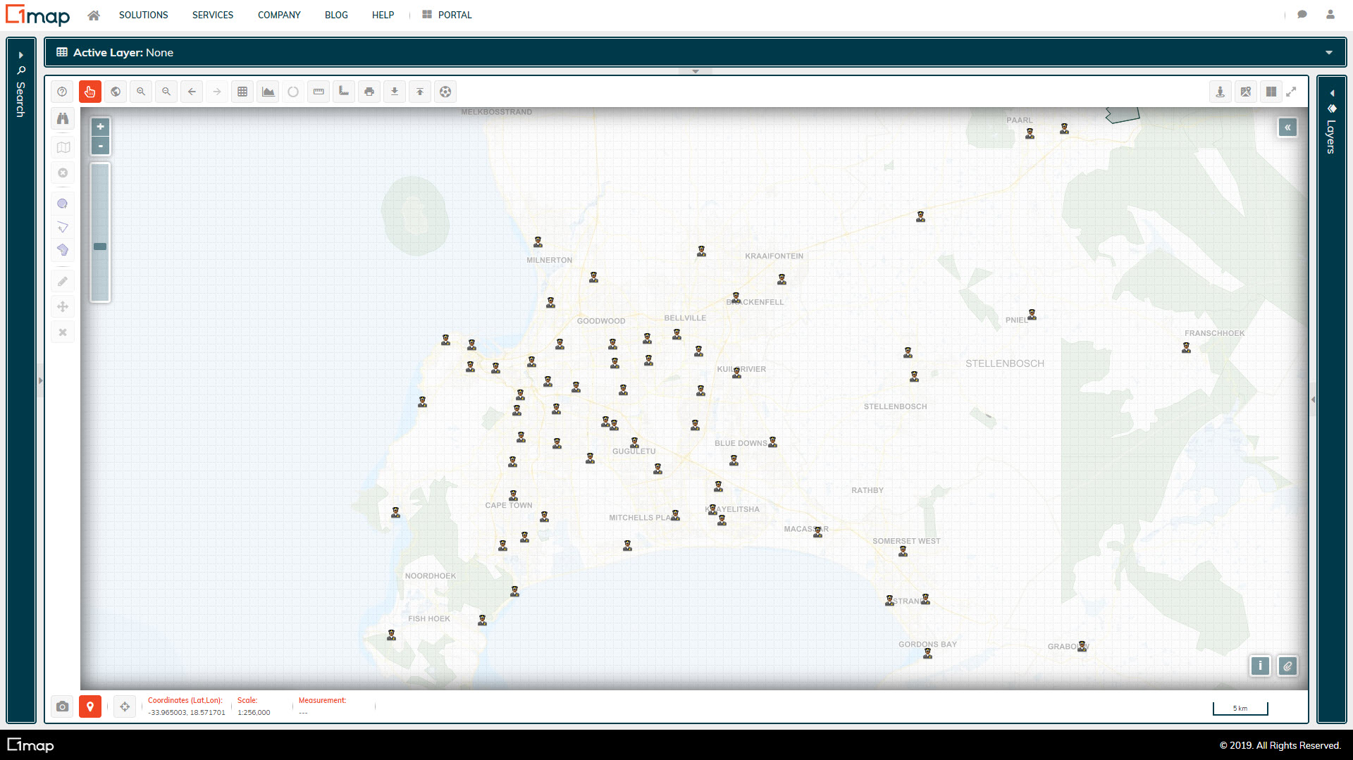
Police Stations
A database of South African Police Stations. Please note that some of the details in the database are outdated, such as the contact details for the various stations.
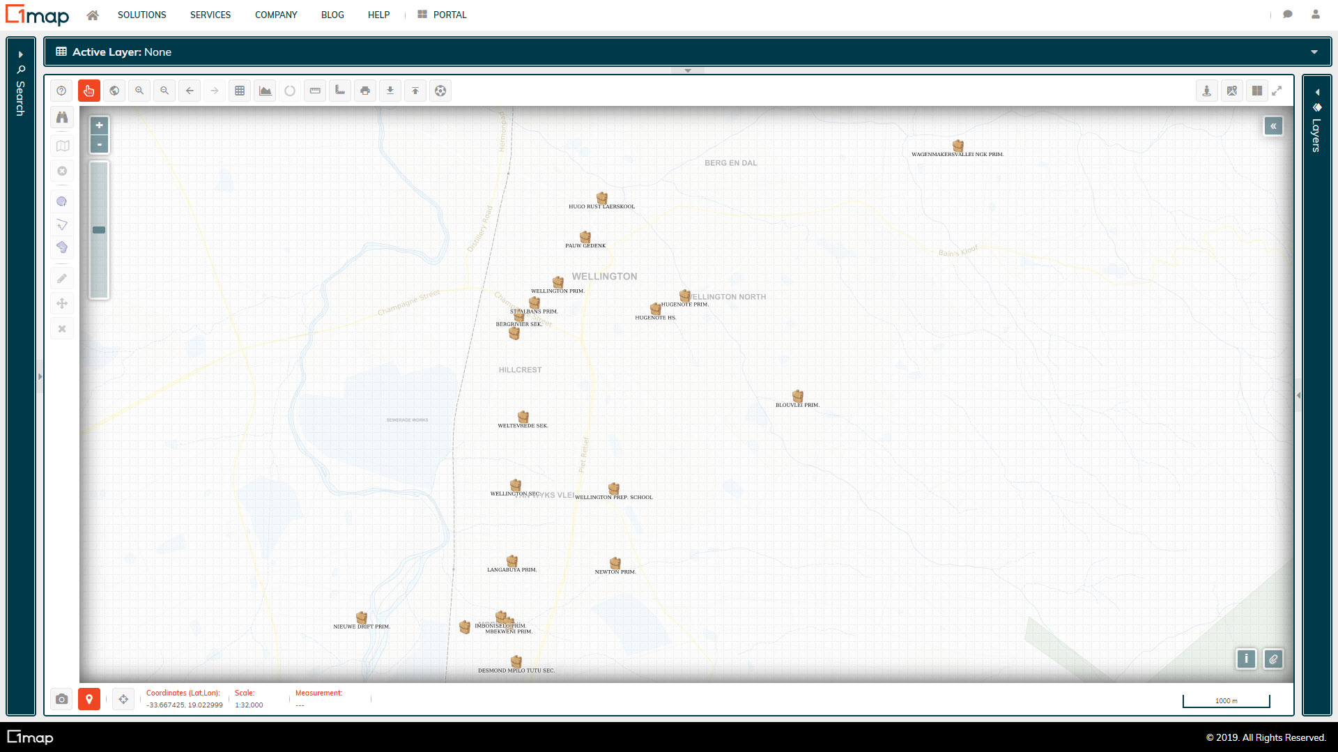
Schools
A database of South African Schools
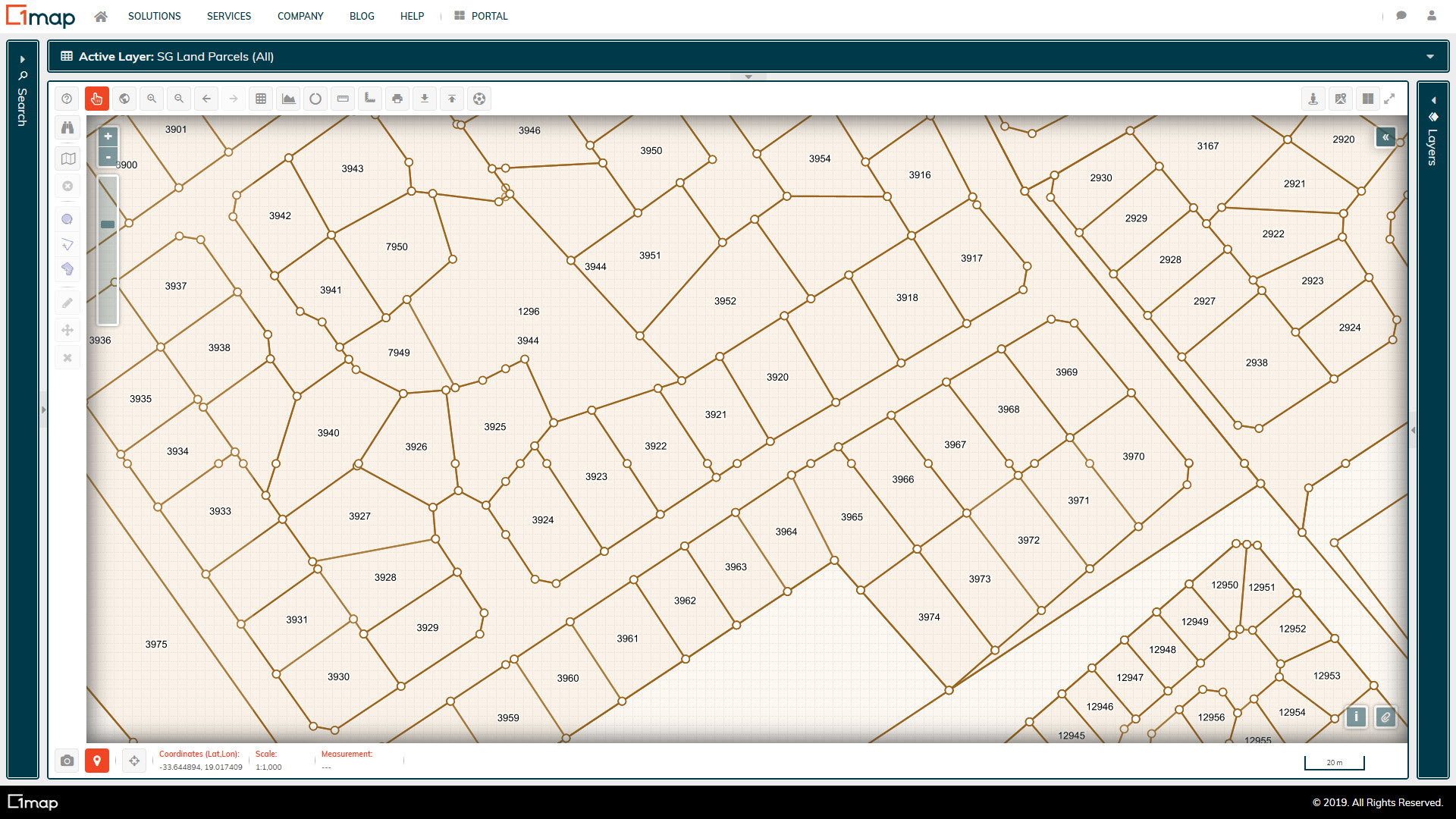
SG Land Parcels
The official land parcel database.
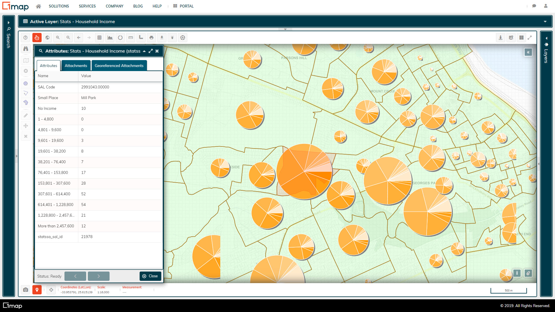
Small Area Household Income
The aggregate household income distribution as per the 2011 Census.
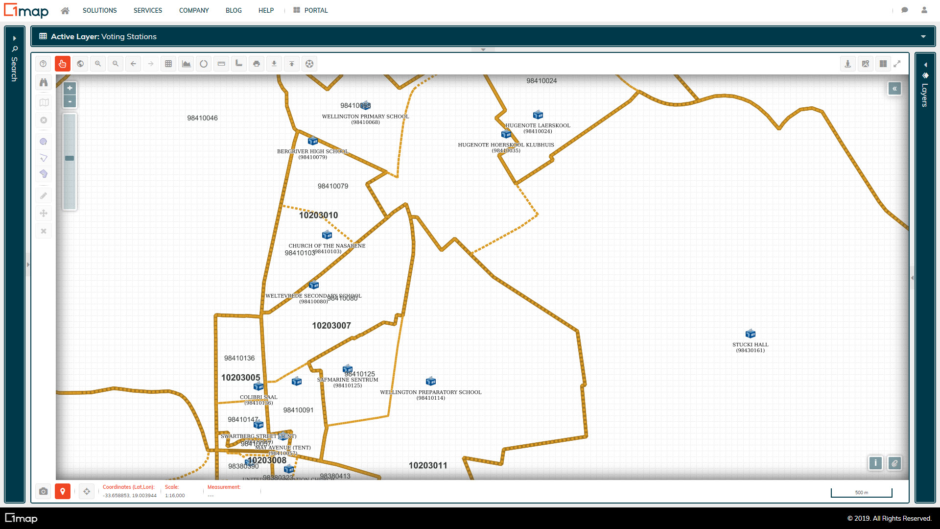
IEC Voting Stations, Wards, and Districts
Wards and voting districts, as well as voting stations.
General Plans
The survey documents prepared by the land surveyor and approved by the Surveyor General. General Plans are a two dimensional representation of two or more land parcels.
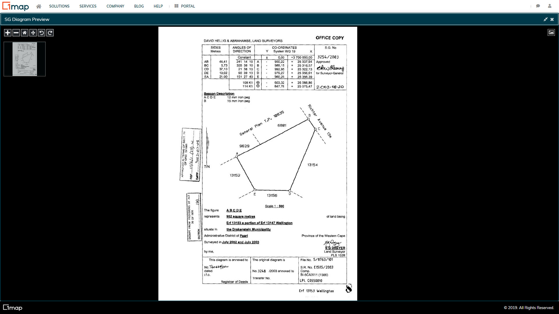
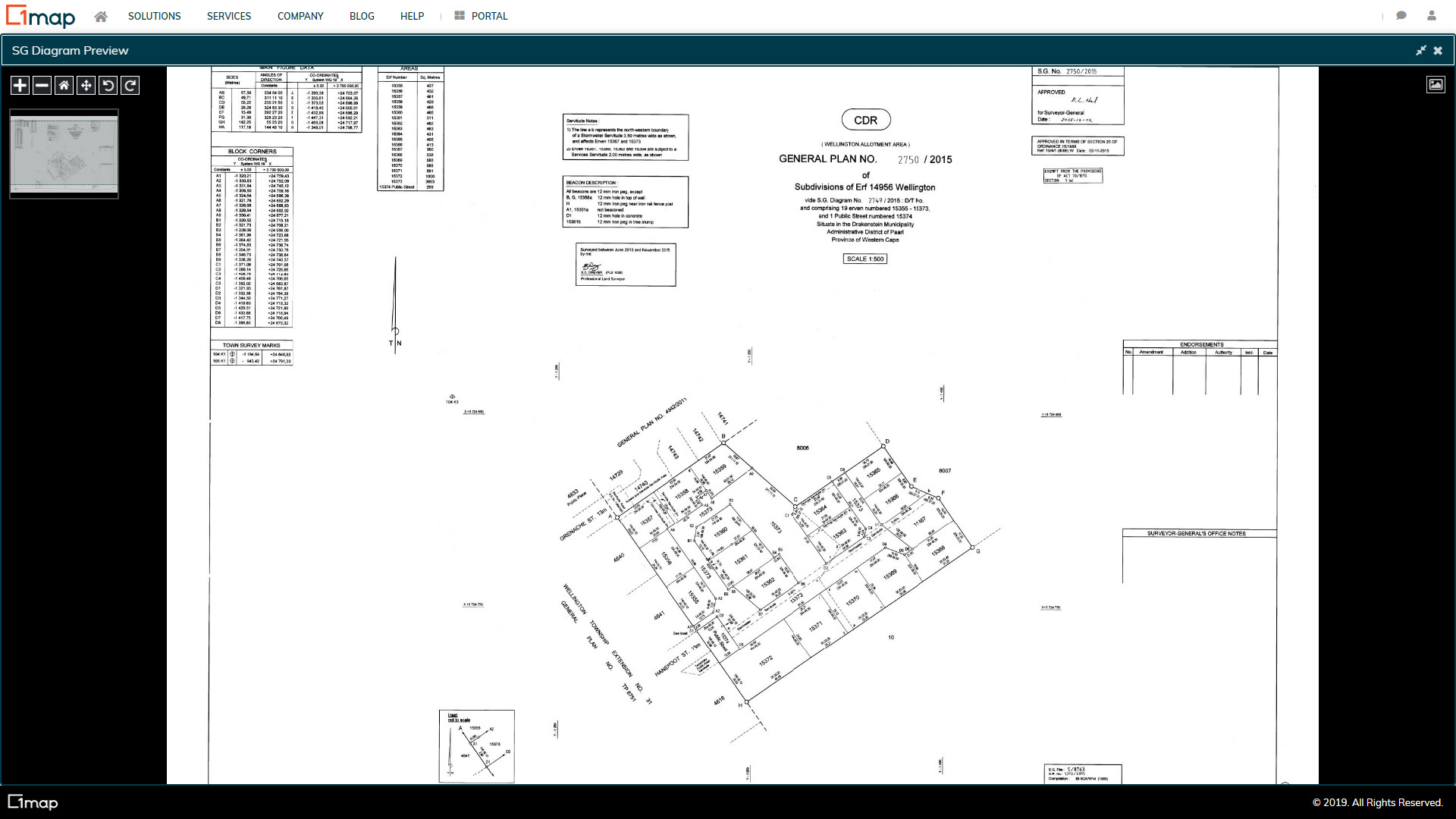
Survey Diagrams
The survey documents prepared by the land surveyor and approved by the Surveyor General. Diagrams are a two dimensional representation of a single land parcel.
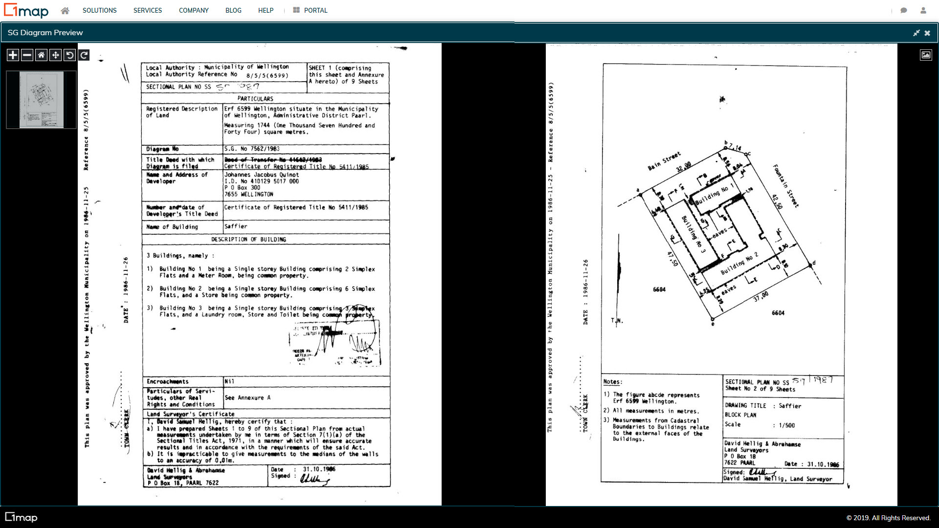
Section Title Plans
The survey documents prepared by the land surveyor and approved by the Surveyor General. Sectional title plans depict two or more parts (sections) of a building that may be owned by different people on one piece of land.